
Planning Your First Road Trip Across the American Southwest
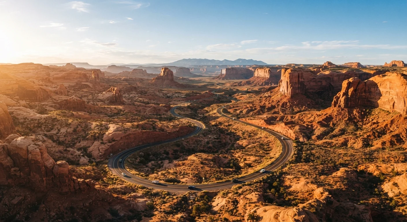
Photo credit: InfoHorizon.net | Access To Informative Content
In this article
A practical guide to mapping out a Southwest road trip, covering key stops, driving distances, seasonal conditions, and what to expect on the road.
Key Takeaways
- The American Southwest is beginner-friendly, with well-connected highways and iconic landmarks close together.
- Planning driving distances realistically — no more than 3–4 hours per day — keeps the trip enjoyable.
- Spring and fall are generally the most comfortable seasons for Southwest road tripping.
- Cell service can disappear in remote areas; download offline maps and carry extra water before heading out.
- National Park entry fees and pass options are worth researching before departure.
Why the Southwest Is Perfect for a First Road Trip
Few regions in America reward a road trip quite like the Southwest. Within a few hundred miles, you can move from candy-striped slot canyons to towering sandstone mesas to star-filled skies that look borrowed from a planetarium. What makes it ideal for first-timers is the combination of iconic, well-marked destinations and a reliable highway network that connects them without requiring serious off-road skill.
States like Utah, Arizona, Nevada, and New Mexico are home to a remarkable concentration of national parks and monuments — many within a day's drive of each other. That density means you're not burning endless hours between highlights. It also means that even if one plan falls through (weather, closures, unexpected detours), the next stunning landscape is never far away.
For a broader introduction to sequencing stops and managing logistics across multiple destinations, see our multi-city trip planning guide.
National Park Pass
An annual federal pass (officially the America the Beautiful pass) that covers entrance fees at national parks, forests, and other federal recreation areas across the US for one year.
Switchback
A sharp zigzag turn in a road or trail that allows vehicles and hikers to gain or lose elevation gradually on steep terrain — common on mountain and canyon roads in the Southwest.
Elevation change
The difference in altitude between two points on a route. In the Southwest, dramatic elevation changes mean temperatures and road conditions can shift significantly within a short drive.
Sovereign Tribal Nation
A federally recognized Indigenous nation with its own government and laws. In the Southwest, some scenic areas and roads pass through Tribal lands that have their own entry rules and visitor protocols.
Offline map
A map downloaded to your device before you travel so it works without a cell or data signal — essential for remote Southwest driving where coverage disappears.
Mapping Your Route: Key Stops to Consider
A classic Southwest loop might start in Las Vegas, Nevada — a convenient major airport hub — and arc through Zion National Park, Bryce Canyon, Monument Valley, the Grand Canyon's South Rim, and Sedona before looping back. This circuit covers roughly 1,000–1,200 miles and can be driven in 10 to 14 days at a relaxed pace.
Alternatively, travelers starting in Phoenix, Arizona can build a shorter route through Sedona, the Grand Canyon, and Page (home to Antelope Canyon and Lake Powell). New Mexico offers a different flavor: Albuquerque, Santa Fe, and the White Sands National Park form a cohesive cultural-and-landscape loop that feels distinct from the Utah canyon country.
Focus Beats Quantity Every Time
Choosing two or three parks to explore deeply will leave you far more satisfied than rushing through six. Budget extra time at your favorite stop — you'll almost always wish you had. If budget is a factor, our first budget trip guide offers solid strategies for stretching your travel dollars.
When deciding on stops, resist the urge to cram too many parks into one trip. Two or three deeply explored parks will be far more memorable than a half-dozen rushed photo stops. The anatomy of a well-planned road trip breaks down exactly how to think through overnight stops and pacing.
Driving Distances and Realistic Time Planning
One of the most common first-timer mistakes is underestimating how long drives actually take in the Southwest. Yes, the highways are fast — but scenic overlooks, park entry lines, unexpected construction, and the sheer pull of a good viewpoint add up quickly. A 200-mile drive that looks like three hours on a map can stretch to five.
A good rule of thumb: plan no more than 3 to 4 hours of driving on any day where you also want to hike, explore, or simply arrive feeling human. Build in at least one or two low-mileage days where the drive itself is short and the exploration is the main event.
Key approximate distances to keep in mind (all subject to route variations):
- Las Vegas to Zion National Park: ~160 miles (2.5–3 hours)
- Zion to Bryce Canyon: ~85 miles (1.5–2 hours)
- Bryce Canyon to Grand Canyon South Rim: ~220 miles (3–4 hours)
- Grand Canyon to Sedona: ~115 miles (2 hours)
- Sedona to Phoenix: ~115 miles (1.5–2 hours)
Distances are approximate and should be verified with current mapping tools before travel.
Seasonal Conditions and When to Go
The Southwest's climate varies dramatically by elevation and season. Desert floors in Arizona can hit extreme heat in July and August, making outdoor activities genuinely risky during midday. Meanwhile, Utah's higher-elevation parks like Bryce Canyon sit above 8,000 feet and can see snow as late as May.
Summer Heat Is a Serious Safety Factor
Temperatures in low-elevation desert areas can exceed 110°F in July and August. Heat-related illness can develop quickly, especially on exposed hikes. Always carry ample water, wear sun protection, and heed any heat advisories posted by park rangers or local authorities.
Spring (March through May) and fall (September through October) strike the best balance: mild temperatures, manageable crowds, and reliable road conditions. Summer remains popular despite the heat, partly because school schedules drive family travel. If you travel in summer, start hikes at dawn and plan indoor or shaded breaks through midday.
Winter road trips are possible — and often strikingly beautiful — but require flexibility. Some park roads close seasonally, and elevation-related ice or snow can appear without warning. Always check official National Park Service and state DOT websites for current road conditions before heading out.
What to Expect on the Road
The Southwest will test your preparation in small but memorable ways. Cell service drops out in vast stretches — between Kanab, Utah and Page, Arizona, for instance, or across the Navajo Nation — so downloading offline maps before you leave a town is essential, not optional.
Gas stations thin out considerably once you leave the main corridors. Fill up whenever you see a station and your tank is below half. Carry more drinking water than you think you'll need; heat and dry air accelerate dehydration faster than most visitors expect.
Accommodation near popular parks is heavily booked during peak seasons. Reserving at least your first and last nights ahead of time is wise, and booking campsite or lodge reservations for places like the Grand Canyon's South Rim months in advance is often necessary. For family travelers, our guide on traveling with kids across state lines has helpful pacing and logistics tips specific to road trips with children.
Finally, the Southwest is home to sovereign Tribal Nations with their own entry rules, fees, and cultural protocols. Approach these areas with respect, follow posted guidelines, and treat the land — and its people — with the care they deserve.
This article provides general travel information only. Conditions, prices, road closures, and entry requirements change frequently. Always verify details with official government and park sources before traveling.
Frequently Asked Questions

Author
Travel Editorial Team
Travel Editorial Team is the collective byline for our editorial team and contributor network. Articles published under this byline or an editorial pen name are researched, written, and reviewed according to our editorial standards for clarity, consistency, and independence before publication.
View all articles →